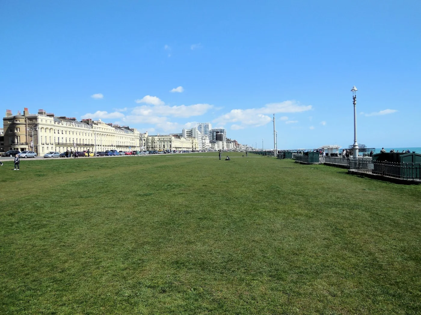

The seafront's two cycle lanes would become one two-way track from Fourth Avenue to West Street. The council's consultation closes at 11.59pm on 25 October.
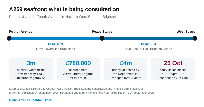
The two cycle lanes on the Brighton and Hove seafront would be pulled out and replaced by a single two-way track under plans now open for comment, and the deadline is 11.59pm on Sunday 25 October. The stretch runs from Fourth Avenue in Hove to West Street in Brighton, past Hove Lawns, the Bandstand, Shelter Hall, the i360 and the Brighton Centre.
Brighton & Hove City Council opened the six-week consultation on 14 September. It covers two sections:
- Phase 3: Fourth Avenue to the Peace Statue
- Phase 4: The Peace Statue to West Street
You can comment on one phase, both, or the scheme as a whole.
What would actually change
Today there are two separate lanes. The westbound one is divided from traffic by plastic wands. The eastbound one sits next to the pavement. The council wants to scrap both and build one bi-directional track, separated from the traffic on one side and from people walking on the other.
The council’s own technical drawings for Phase 3 and Phase 4, published alongside the consultation, put numbers on it. The new track is drawn at 3 metres wide as a nominal figure for most of its length, widening to 4 metres on the Brighton end around Regency Square, with a 75mm kerb separating it from the carriageway.
The drawings also annotate:
- rain garden and sustainable drainage areas at Kings Gardens, Brunswick and Regency Square
- parallel puffin crossings at Brunswick Square and Holland Road, for people walking and cycling side by side
- new parking bays marked at Kings House East and along Brunswick
- seafront parking at Regency Square labelled “to be relocated and extended”
- a westbound traffic lane marked “to be reinstated” at the Regency Square end
- a tie-in at Fourth Avenue to the cycle track scheme at the West Sussex boundary
That last point matters for anyone trying to picture the finished thing. This is the middle section of a longer route. Work on the stretch from Hove to Portslade, west of Fourth Avenue, is scheduled to start this autumn.
Who is paying
The council says it has secured £780,000 from Active Travel England for this route, and that nearly £4 million has been allocated by the Department for Transport over four years.
Councillor Trevor Muten, cabinet member for transport and city infrastructure, said: “The A259 Active Travel Scheme is one of the most significant transport improvement projects in the city and these latest proposals continue our vision for a safer, more accessible and sustainable seafront for everyone.”
He added: “The current layout of the cycle lanes is confusing and we can do much better.”
How many people have responded so far
The consultation runs on the council’s Your Voice platform, which publishes a live count. As of the early hours of Wednesday 24 September, the A259 survey had taken 195 responses from 200 participants, with 33 people following the project.
For comparison, the council’s re-landscaping consultation on Palmeira Square in Hove drew 1,119 responses. A redesign of the city’s best known road has, for now, attracted a fraction of that. There are four weeks left.
The backdrop nobody should ignore
The road this scheme redesigns is sitting on Victorian arches that the council says are failing. In its own £41 million funding bid, covered in our report on the King’s Road arches, the council warned that without rebuilding it would have to close the westbound carriageway of the A259 and the seafront cycle lane outright. Two sections of the road were already closed, in 2012 and 2014, after arches failed structurally.
So there are two seafront projects running at once: one to redesign the surface, one to stop the structure beneath it giving way.
What it means for you
- If you drive the seafront, the consultation is where to say what you think about the lane layout, the loading bays and the parking. The drawings show parking being moved and added rather than simply removed, and a westbound traffic lane marked for reinstatement at the Brighton end.
- If you cycle it, one two-way track replaces the current split. That is a real change to how you would ride east and west, and to how you would turn off.
- If you run a business on the front, loading is explicitly in scope. New loading bays and disabled bays are part of the proposal, and the drawings are the place to check where they land relative to your door.
- The deadline is 11.59pm on Sunday 25 October. Responses go through the council’s Your Voice site.
- No construction date has been set for Phases 3 and 4. The council says feedback will shape the final design.
Our Brighton roadworks and travel page tracks what is closed on the seafront this week, and our guide to parking in Brighton covers the seafront paid parking zones.
Sources
- A259 Active Travel Scheme Hove to Brighton, have your say, Brighton & Hove City Council, 14 September 2026
- A259 Hove Lawns to West Street Active Travel Scheme consultation and technical drawings, Your Voice, Brighton & Hove City Council
- A259 Hove to Portslade Active Travel Scheme set for autumn start, Brighton & Hove City Council, 13 May 2026
- A259 Active Travel Scheme detailed plans, Brighton & Hove City Council
Have your say